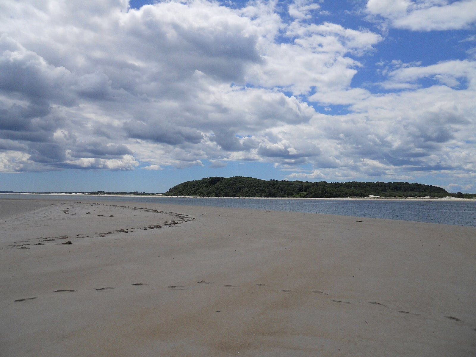
Crane Beach Tides
For Crane Beach tides, use NOAA's Plum Island Sound (south end) station, 8441241, about two miles from the beach entrance at the mouth of the sound. The beach gets two high tides and two low tides a day, and the water rises and falls about 8.8 feet on an average tide. That's a big range, so the beach at low tide is far wider than at high tide.
The next-closest station is Essex (8441771), about 3.6 miles away in the estuary behind the beach. Use it for paddling toward Choate Island.
Tides at a Glance
Where to Check Today's Tide Times
- NOAA Plum Island Sound (south end), MA (8441241): the closest official prediction point, about two miles from the beach entrance. Use this one for the beach.
- NOAA Essex, MA (8441771): in the Essex River estuary, better for the Crane Wildlife Refuge side.
NOAA's prediction pages show a daily chart and a table of high and low times and heights for any date, and you can print a month. Heights are in feet above mean lower low water, the average of each day's lower low tide. A low near zero or below means more exposed sand than usual.
How Big the Tides Are Here
Tides on this part of the Massachusetts coast are large. NOAA's long-term figures for station 8441241 put the gap between an average high and an average low at about 8.8 feet, and between the day's higher high and lower low at about 9.5 feet. The two highs of a day aren't equal. For example, NOAA predicts July 15, 2027, will bring lows of 0.5 and 1.4 feet and highs of 7.7 and 9.2 feet.
Around new and full moons, spring tides run higher than average. The state mosquito control district ties the July greenhead hatch to those tides (see below).
What the Tide Means at the Beach
- Low tide: the widest beach, the most room to spread out, and the best walking on firm sand.
- High tide: a narrower strip of dry sand. On a crowded summer afternoon, set up well back from the wet line.
- Dog season: dogs must stay below the high tide line except to get on and off the beach (see dogs).
- Horses: not allowed from one hour before to one hour after high tide (see rules).
Tides and Argilla Road
Argilla Road runs through salt marsh on the way in. The Trustees' refund policy specifically excludes flooding on Argilla Road, which tells you it happens. If a storm lines up with an extra-high tide, check with the Crane Beach line at 978-356-4354 before you drive.
Tides for Paddling to the Refuge
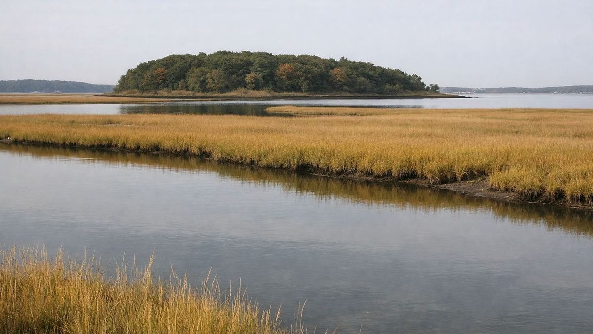
The Crane Wildlife Refuge sits in the tidal Essex River estuary. Private boats and kayaks may land only at the Long Island dock, and you can't launch from the Crane Estate. Check the Essex station before you paddle, or join a guided kayak trip (see Choate Island).
Tides and Greenheads
Greenhead flies breed in the salt marsh, and their July emergence follows the extra-high spring tides around the full moon, according to the state's Northeast Massachusetts Mosquito Control district. See greenhead season.
Safety Near the Water
Swim where lifeguards are posted, 9 a.m. to 5 p.m. from Memorial Day to Labor Day. Inflatable floats are banned on Crane Beach, and The Trustees close the water when conditions are dangerous.
Crane Beach Tides FAQ
Which tide station should I use for Crane Beach?
NOAA's Plum Island Sound (south end) station, 8441241, about two miles from the beach entrance. Essex (8441771) is the next closest.
How big are the tides at Crane Beach?
About 8.8 feet between an average high and low, and about 9.5 feet between the day's higher high and lower low, based on NOAA's long-term figures.
When is Crane Beach widest?
At low tide, when the most sand is exposed. Check NOAA's prediction table for the time.
Does Argilla Road flood?
It can. The Trustees don't refund passes for Argilla Road flooding, so check with the Crane Beach line before driving in during a storm with a high tide.